Playa del Carmen is the best known destination in the Riviera Maya.
The Riviera Maya is in the Mexican province of Quintana Roo.
If you’re visiting Playa del Carmen for the first time or just want to plan your vacation, a map of Playa del Carmen will be a useful tool.
Here are some maps to download, print or consult:
Playa del Carmen location map
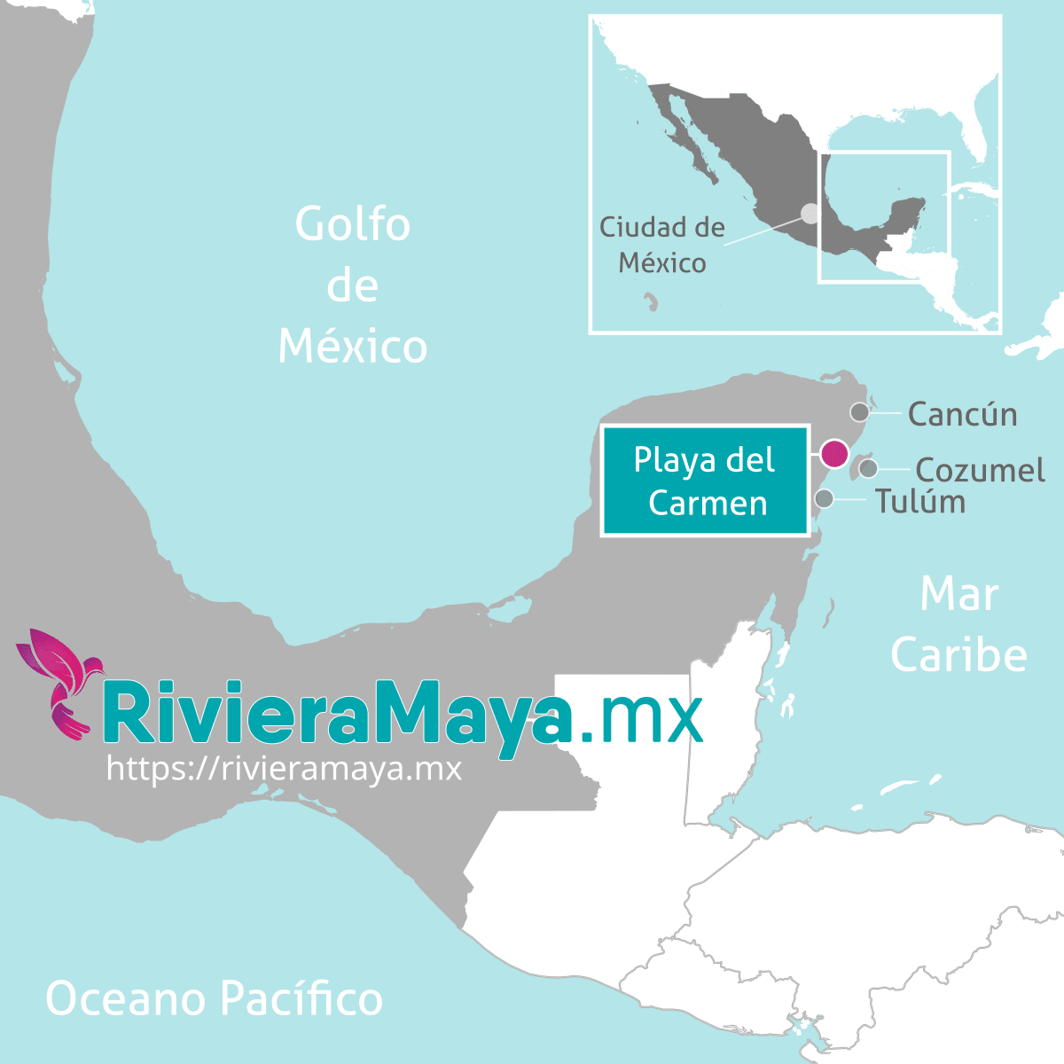
Playa del Carmen is located in southeastern Mexico, on the Yucatan Peninsula.
It is located 68 kilometers (42 miles) south of Cancun and 60 kilometers (37 miles) north of Tulum.
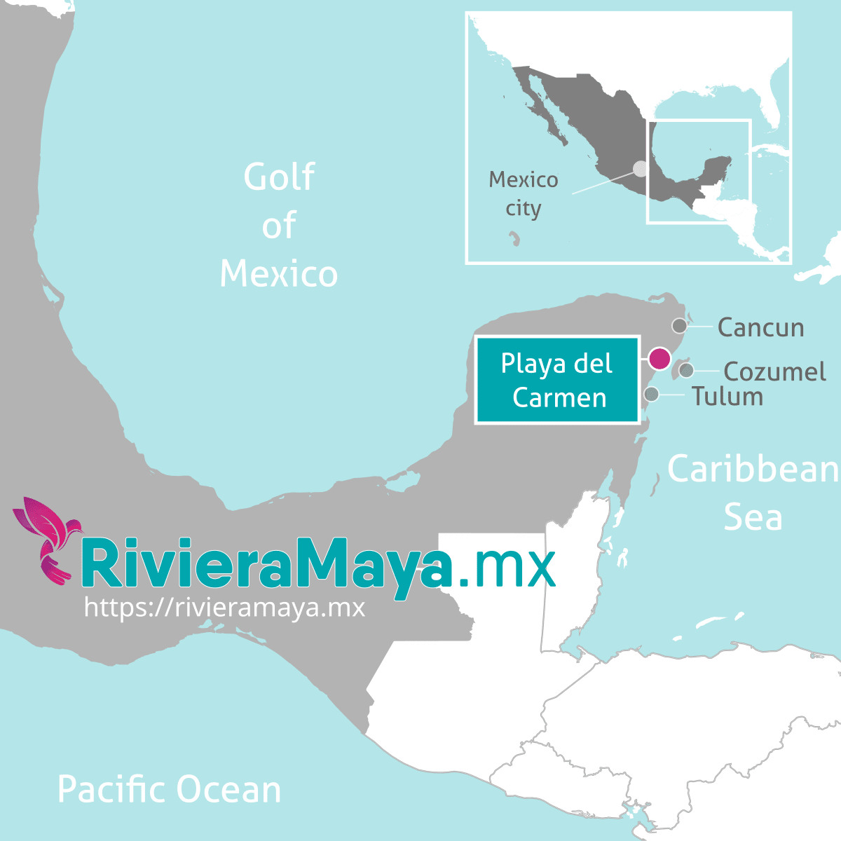
Playa del Carmen location map.
Playa del Carmen City Map
The city of Playa del Carmen is divided by “Avenues”(Avenidas) mostly parallel to the beach and “Streets”(Calles), perpendicular to the beach.
Parallel to the beach, the most important avenues for tourism are the Fifth Avenue (Quinta avenida) and 10th Avenue.
Perpendicular to the beach, the most important streets are Avenida Juarez, 12th street (of bars and nightclubs) and Avenida Constituyentes.
Points of interest:
- Founders Park (Parque fundadores). With the famous Mayan Portal.
- Fiscal Pier (Muelle fiscal). Departure of the ferry from Playa del Carmen to Cozumel.
- Paseo del Carmen. Beginning of the fifth avenue.
- ADO bus station. Fifth Avenue and Juarez Avenue.
- ADO alternate bus terminal (terminal alterna). 20th Avenue, between 12th Street and 14th Street.
- Mamitas Beach.
- Constituyentes Avenue pier.
- Quinta Alegria shopping mall.
The following map highlights the main avenues and streets of Playa del Carmen, but also of the Playacar subdivision. This is one of the most complete and clear.
Download full map 1.14MB. 6411 Downloads.
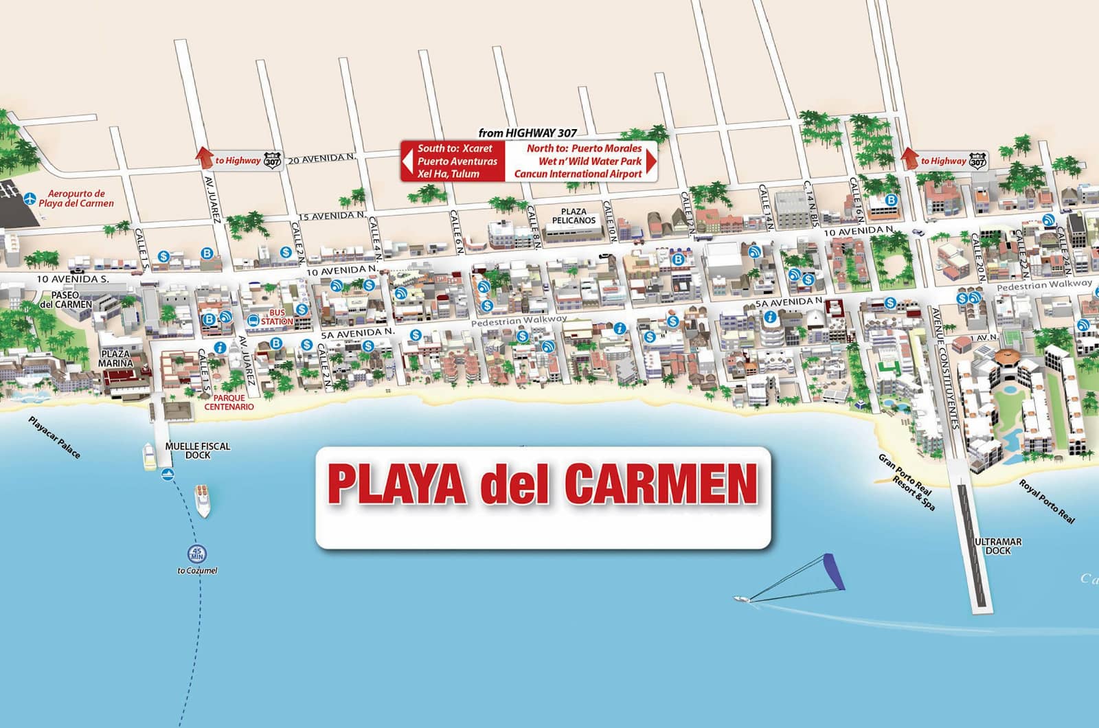
Downtown Playa del Carmen. Download the full map to zoom in and out.
This other map also shows Playa del Carmen, including Playacar, but it’s got some extra info like distances and phone numbers (which might not be up to date) of hotels near the beach.
Download full PDF map 7.71MB. 5236 Downloads.
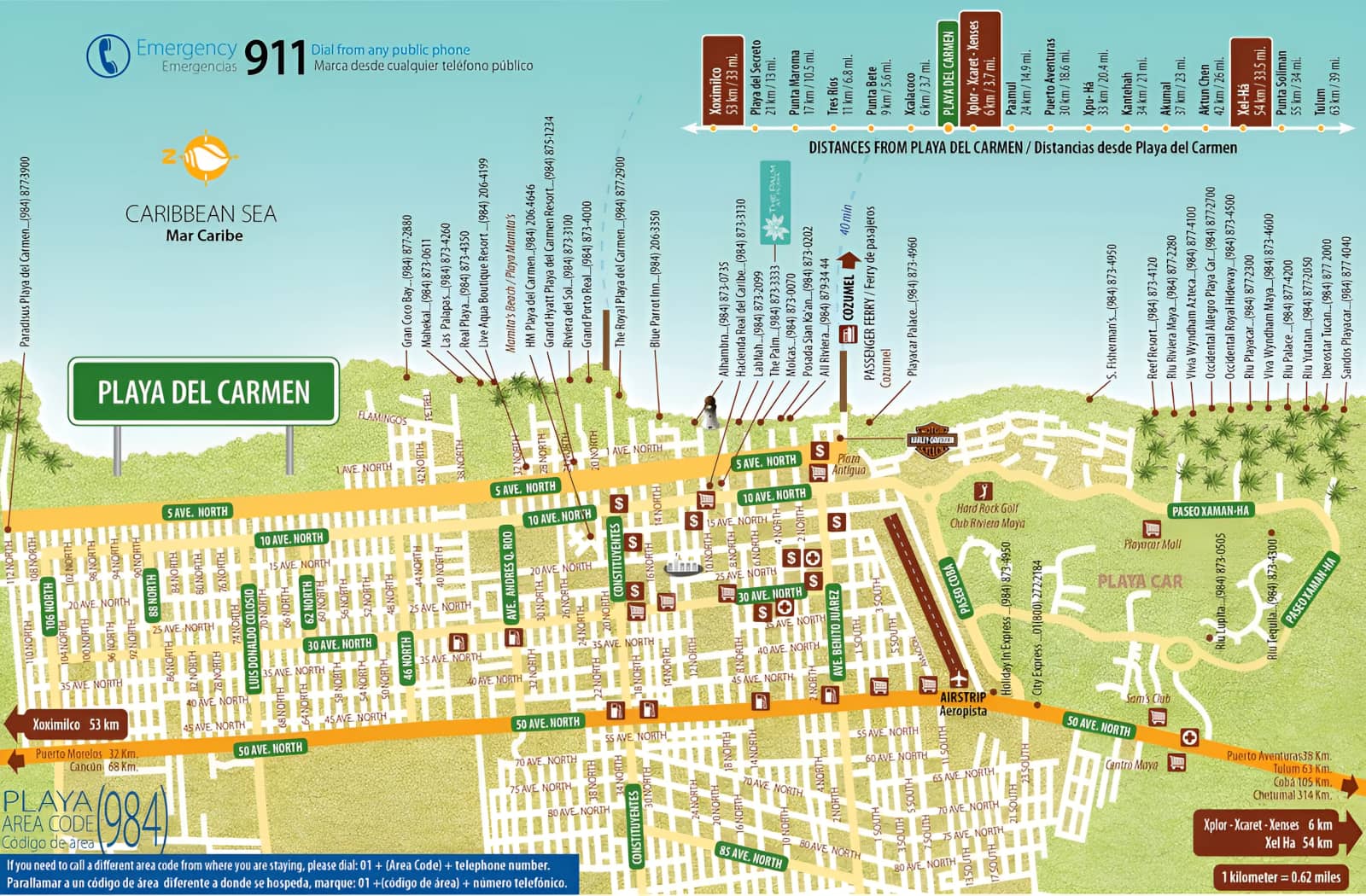
Map of Playa del Carmen with distances.
